Russian Shahed drones tracked over Kyiv in three separate vectors
What happened
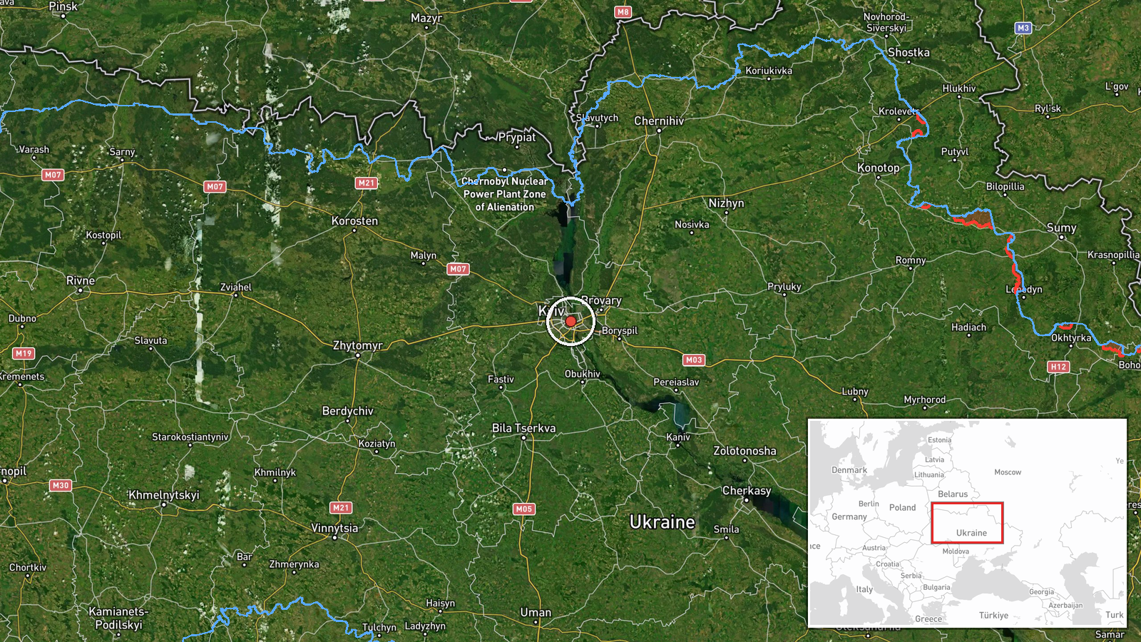
Telegram channel @war_monitor reported detection of Russian Shahed-136 kamikaze drones transiting Kyiv airspace on 8 September at 17:27 UTC. The report indicates three separate drone vectors: two directed toward Zhuliany and Vyshnevoe areas, and one toward Pidgirtsi. The channel characterized the activity as part of ongoing Russian drone reconnaissance and strike operations. No impact assessments or interception claims were included in the report.
Context and assessment
The drone detection occurs within a sustained Russian air campaign against Kyiv. Earlier on 8 September, ballistic missiles struck the capital, and overnight 7–8 September, Russia reportedly launched 166 drones and dozens of missiles in a coordinated attack that ended a three-day operational pause. This drone transit follows that intensive strike wave, suggesting either follow-up reconnaissance or a secondary strike sequence. Zhuliany and Vyshnevoe host military and civilian infrastructure; Pidgirtsi lies northwest of the capital. The pattern indicates Russian forces maintain pressure on Ukrainian air defenses through repeated, distributed attack vectors rather than single waves.
Sources and confidence
Single-source report from Telegram channel @war_monitor, with no cross-confirmation from Ukrainian air-defense officials or alternative channels noted in available data. Confidence score of 6.0 reflects reporting from one channel without independent verification. Confirmation by official Kyiv administration statements or SBU updates would increase confidence; photographic or video evidence of interceptions would strengthen assessment of threat outcome.
Location
Kyiv city and surrounding oblast, approximately 50.45°N 30.52°E. Zhuliany and Vyshnevoe are southwestern suburbs of central Kyiv; Pidgirtsi lies to the northwest. The geo-precision is regional, not facility-specific. Kyiv is Ukraine's largest city and primary military-administrative center, ringed by Soviet-era defensive infrastructure and modern civilian density.
Related events nearby
- Russian Shahed-136 kamikaze drones detected transiting Kyiv Oblast. One drone tracked toward Krukivshchyna, on2026-09-08 16:34 UTC · Drone Transit · Kyiv Oblast, Ukraine
- Ukrainian air-raid monitoring detected 3 groups of Russian cruise missiles transiting toward Kyiv Oblast with 2026-09-08 02:04 UTC · Cruise Missile · Kyiv Oblast, Ukraine
- Ukrainian air-raid alert monitoring system reports all-clear signal (threat repeal) for Kyiv region after ball2026-09-07 23:25 UTC · Siren · Kyiv Oblast, Ukraine
- President Zelensky appeals to the United States for ballistic missile air-defense packages to strengthen Ukrai2026-09-08 14:47 UTC · Statement · Kyiv, Kyiv Oblast, Ukraine
- Russian ballistic missiles struck Kyiv; footage captured two missiles impacting the same location seconds apar2026-09-08 14:03 UTC · Ballistic Missile · Kyiv, Kyiv Oblast, Ukraine
▶ View this event on the live map
Intel Mapper aggregates open-source reports from monitored Telegram and X channels, geolocates them, cross-checks duplicates across sources and assigns a confidence score. Entries are updated as new confirmations arrive. Read how we verify events.